
Location of Český Krumlov
Location:
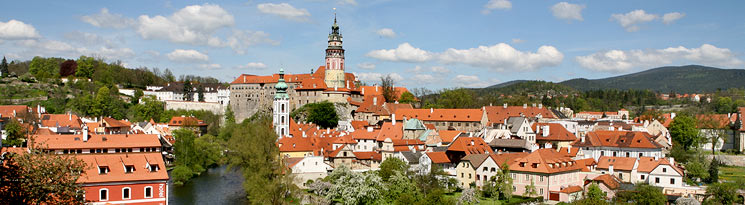
Český Krumlov is situated in the southern part of the Czech Republic near the Austrian border (distance to Prague 180 km / 113 miles)
The town is situated 492 metres (1610 ft.) above sea level in the Vltava river valley at the foothills of the Blanský Forest Nature Reserve.
48° 49´ latitude
14° 20´ east longitude
Climate:
Mild, humid
Altitude: 492 metres (1610 ft.)
Average annual temperature: 7.0 °C
Coldest months: January - average temperature: -2.9 °C
Warmest month: July - average temperature: 15.7 °C
Average yearly amount of rainfall: 644 mm
Up-to-date information about the weather in Český Krumlov: www.ckrumlov.cz/webcam
Time:
TIME DIFFERENCES
The Czech Republic follows Central European Time (CET). During Daylight Saving Time (late Mar-late Sept), the clocks are put ahead one hour.
Population:
Population of Český Krumlov: 13 942 (last census: 30.4.2006)
Nationalities: Czech, Moravian, Hungarian, Polish, Slovakian, Silesian, Romany, German, Ukranian, others
Average age of citizen: 38.8 years
Number of citizens in the Český Krumlov region: 60 708
Population density of the Český Krumlov region: 37 people per km2
Average age of citizen in the Český Krumlov region: 37.8 years
Number of districts in the Český Krumlov region: 46